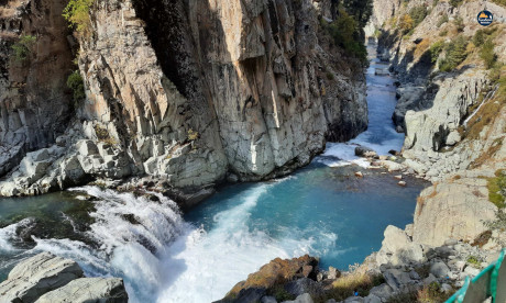
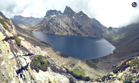
The Pir Panjal Range, named after the Pir Panjal Pass, stands as a formidable mountain range in the Lesser Himalayas, carving its way through the Indian states of Jammu and Kashmir, Himachal Pradesh, and extending into Pakistan’s Kashmir and Punjab. This majestic range, with an average elevation ranging between 1,400 meters (4,600 feet) and 4,100 meters (13,500 feet), is a testament to the grandeur of the Himalayan landscape.
Geographical Marvel and Lesser Himalayas: As part of the Lesser Himalayas, the Pir Panjal Range runs from northwest to southeast, creating a natural boundary between the Kashmir Valley and the outer plains. It plays a crucial role in the gradual ascent from the Shivalik Mountains to the Dhauladhar and Pir Panjal ranges. The Lesser Himalayas, including the Pir Panjal Range, form a captivating chain of mountains that shape the northern contours of the Indian subcontinent.
Pir Panjal Pass: Gateway to Mughal Road: The Mughal Road, a historic passageway, connects the Kashmir Valley with Rajouri and Poonch through the Pir Panjal Pass, also known as Peer Ki Gali. At an elevation of 3,490 meters (11,450 feet), this pass is the highest point on the Mughal Road. It holds historical significance, being traversed by the Mughal emperors, and remains a vital route connecting regions in the Kashmir Valley. Shopian, nestled in the valley, is the nearest town to the pass.
Sunset Peak: A Majestic Massif: Situated west of the Kashmir Valley, Sunset Peak is a mountain massif bordering the districts of Poonch and Shopian in Jammu and Kashmir. With a peak elevation of 4,745 meters (15,568 feet), it stands as a testimony to the natural grandeur of the Pir Panjal Range. The trek to the summit, while not overly challenging, requires a level of fitness. Tatakooti Peak, at 4,725 meters (15,502 feet), is another notable peak within this massif, slightly higher than Sunset Peak. The trek to Sunset Peak commences in Yusmarg, offering a delightful journey through apple orchards and charming towns.
Tatakooti Peak: The Highest Summit: Tatakooti Peak, rising to an impressive altitude of 4,760 meters (15,620 feet), is the most notable and majestic peak in the Pir Panjal Range. It forms the highest point in the range, marking the southwestern border of Kashmir. The trek to Tatakooti Peak often starts from Yusmarg, taking trekkers through picturesque landscapes and charming villages.
Apharwat Peak: The Skiing Paradise: In the famous tourist destination of Gulmarg lies the majestic Apharwat Peak, standing at an elevation of 4,390 meters. Known for having Asia’s longest ski slope, Apharwat Peak is a haven for skiing enthusiasts. The Gulmarg Gondola, Asia’s highest cable car, connects the peak to Kongdori Valley, providing not only thrilling skiing opportunities but also spectacular views. Apharwat Peak is a key attraction, drawing adventure seekers and nature lovers alike.
The Pir Panjal Range, as the Lesser Himalayas, stands as a testament to the grandeur and resilience of the mountain landscapes. Its towering peaks, verdant valleys, and cultural tapestry create an awe-inspiring canvas that captivates all who venture into its embrace. As the range continues to be a source of inspiration, exploration, and conservation, the enigma of the Pir Panjal remains an integral part of the Himalayan legacy.


